Birmingham
Architectural Visualisation in Birmingham
Architectural visualisation in Birmingham starts with city-centre infill, retained fabric and entrance relationships. The site address, design revision and presentation purpose define the cameras and output set.
Project guidance
How does a Birmingham infill brief explain old and new building relationships?
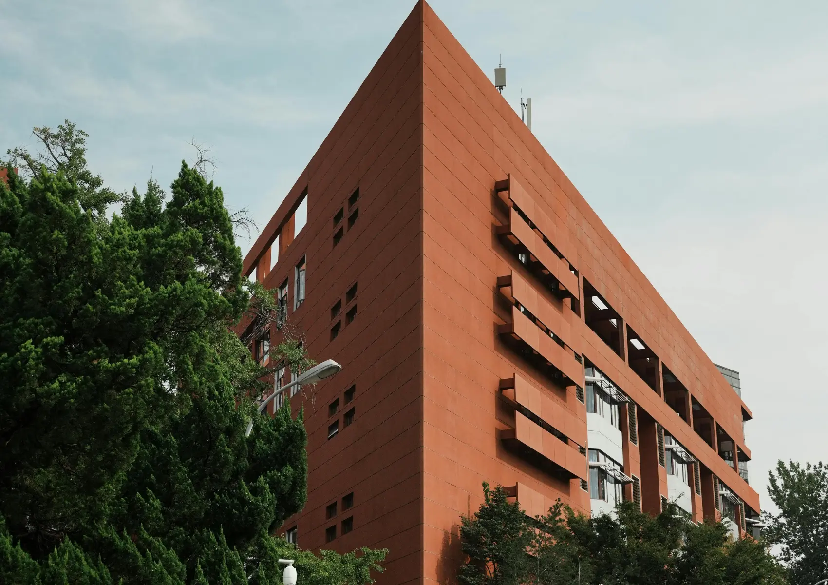
An infill brief explains the junction between the proposal and its retained surroundings. Provide neighbouring elevations, rooflines, pavement levels and the position of the new entrance. A close façade image reveals material and opening relationships; an oblique street view explains the frontage within its setting. If conservation considerations apply to the actual site, the planning team identifies the assessment question and the required contextual views.
Smithfield, Digbeth, Paradise, Curzon and the Jewellery Quarter are geographic references, not evidence of studio commissions. Identify the specific address and which existing or proposed elements are visible from each camera. Retained façades, adjoining structures and new landscape require separate source information. Avoid presenting an illustrative background building as a coordinated part of the design.
Review the street geometry before detailed surface finishing. Check entrance accessibility against the supplied drawings rather than inferring performance from a rendering. For marketing derivatives, preserve the approved building form even when adjusting crops or adding campaign text. A planning set remains a representation of the issued proposal, not proof of conservation acceptability or consent.
Project guidance
What does a Birmingham context brief need to identify?
A Birmingham context brief identifies the actual site, neighbouring buildings and relevant streets or landscape. A city-centre infill image and an edge-of-city development have different context requirements. The existence of a conservation area is a site-specific matter for the planning team, not an assumption applied to every scheme. Specify the current design revision and the relationships the view needs to explain. Do not assign a generic image to a named regeneration project without confirmed project information.
Outputs
Which outputs support this Birmingham brief?
Planning CGIs →
Context-accurate CGIs built from your drawings to carry schemes through committee, design review and public consultation.
Exterior CGI →
Photoreal exteriors that describe massing, material and light with restraint.
Property Marketing CGI →
Coordinated exterior and interior imagery for off-plan property campaigns.
Site reference
Which location information belongs in a Birmingham commission?
Birmingham City Council and conservation areas provides the recorded planning context. The appointed planning team confirms current requirements for the actual address and submission.
Contextual place references: Smithfield, Digbeth, Paradise, Curzon, Jewellery Quarter. These names do not attribute the uploaded architectural studies to local commissions.
Guides
Which guides support the Birmingham briefing decisions?
- What Visuals Does a Planning Application Need?
A checklist for submissions.
- Architectural CGI Brief Template
The source files, decisions and delivery checklist for a rendering commission.