Leeds
Architectural Visualisation in Leeds
Architectural visualisation in Leeds starts with riverside layout, site overviews and frontage connections. The site address, design revision and presentation purpose define the cameras and output set.
Project guidance
How are a Leeds site overview and street frontage presented together?
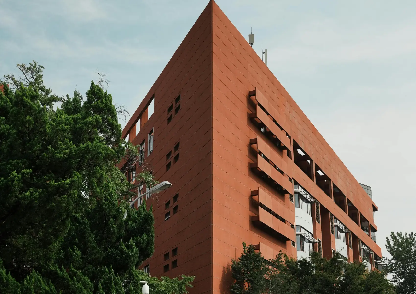
A site overview and street frontage explain different scales of a Leeds proposal. The overview shows building arrangement, access, boundaries and landscape distribution. The street image shows the pedestrian-facing frontage and its connection to neighbouring forms. Agree both cameras against the site plan so the overview does not hide a relationship that matters at ground level.
South Bank, Aire Park and Kirkstall are location references rather than commissioned-project claims. A riverside brief includes the visible water edge, ground levels and proposed landscape; a suburban brief uses its own boundary and adjoining-building information. Supply retained and proposed elements separately. Water appearance and planting maturity are presentation choices that need explicit review rather than assumptions added during finishing.
Before detailed rendering, review the layout against issued plans and sections. Confirm which access routes and open spaces are part of the proposal. Deliver labelled viewpoints with a consistent design revision and landscape package. The planning team specifies whether any camera needs documentary verification; a clear aerial CGI does not itself establish assessment compliance.
Project guidance
How do Leeds site relationships influence the view list?
Leeds site relationships influence whether the view list needs a close frontage image, a wider street view or an elevated site overview. The project address and surrounding geometry provide a firmer basis than the city name alone. A riverside setting and a suburban site present different visible relationships. Record boundaries, ground levels, neighbouring forms and retained vegetation in the source information. The selected views need to explain the actual proposal rather than imply work in a named development area.
Site reference
Which location information belongs in a Leeds commission?
Leeds City Council provides the recorded planning context. The appointed planning team confirms current requirements for the actual address and submission.
Contextual place references: South Bank, Aire Park, Kirkstall. These names do not attribute the uploaded architectural studies to local commissions.
Guides
Which guides support the Leeds briefing decisions?
- What Visuals Does a Planning Application Need?
A checklist for submissions.
- Architectural CGI Brief Template
The source files, decisions and delivery checklist for a rendering commission.